
West Coast Trail GPX Details - The Actual WCT Millage
Detailed GPS millage of the West Coast Trail. Download accurate GPX tracks for the WCT.
West Coast Trail Data download
About the Data
We noticed a sizable difference in the advertised mileage and the actual distance we hiked on the WCT. This data is provided in an effort to bridge that gap. This compiled data was collected on a Garmin Tactix 7 PRO Ballistics. Finally, walk your own hike and remember that no two tracks will be identical.


Day One
Trekking North to South
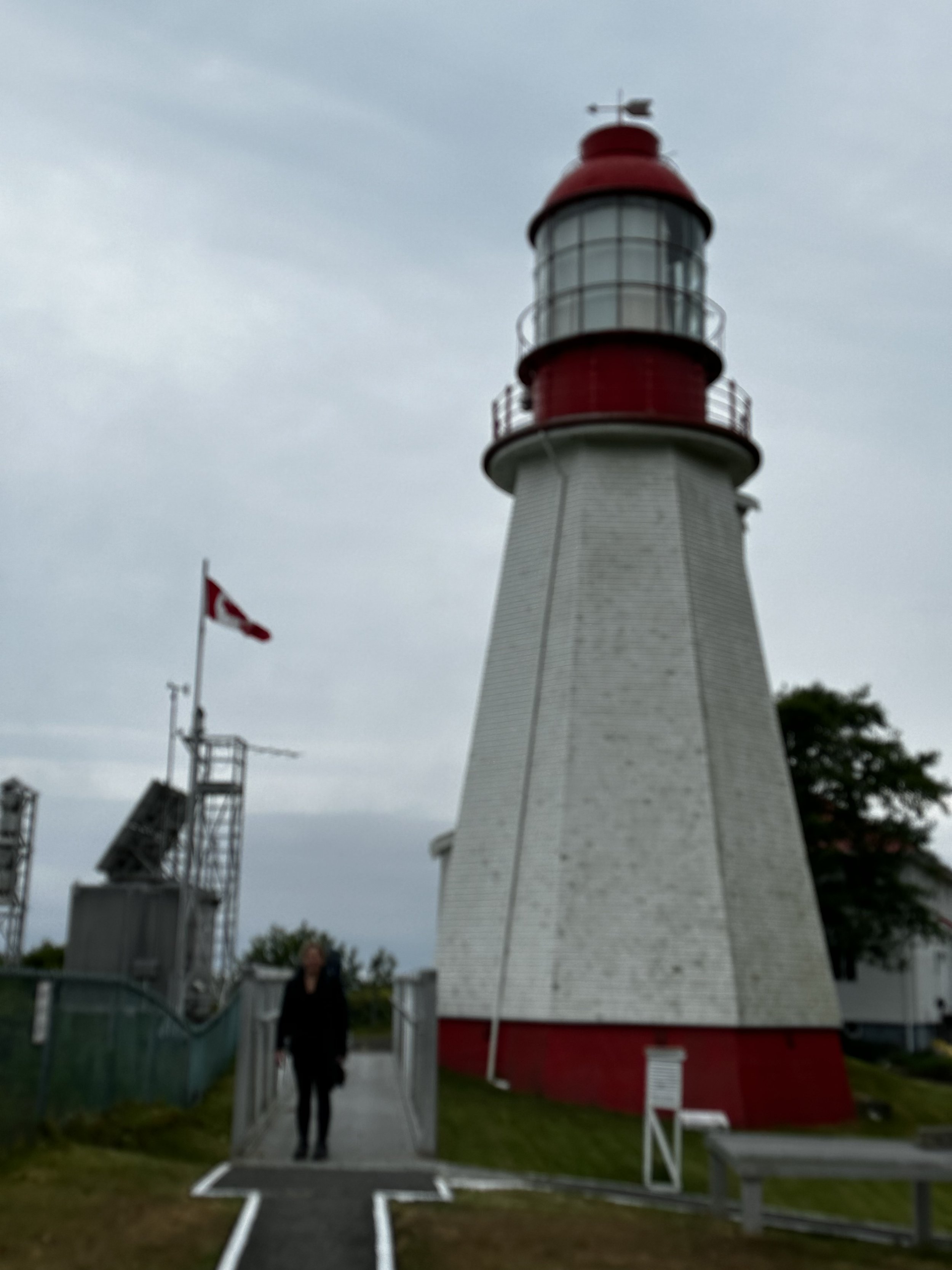
Pachena Bay Trailhead to Michigan Creek Camp
Actual Walked Distance - 14.10 km


Day Two
Trekking North to South
Michigan Creek to Tsusiat Falls Camp
Actual Walked Distance - 15.27 km


Day Three
Trekking North to South
Tsusiat Falls to Cribs Creek Camp
Actual Walked Distance - 21.35 km


Day Four
Trekking North to South
Cribs Creek to Walbran Creek Camp
Actual Walked Distance - 13.65 km


Day Five
Trekking North to South
Walbran Creek to Camper Bay Camp
Actual Walked Distance - 12.99 km

Day Six
Trekking North to South
Camper Bay to Thrasher Cove Camp
Actual Walked Distance - 10.2 km


Day 7
Trekking North to South
Thrasher Cove to Gorden River Trailhead
Actual Walked Distance - 7.91 km


Contact Us Here
Copyright Aaron Pufal 2023, all rights reserved.